Linda’s Monthly Monday Morning Mornings for September 4, 2023
What is your collecting passions?
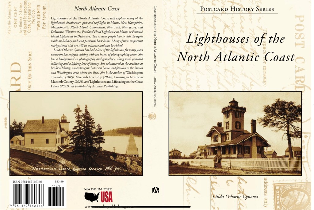
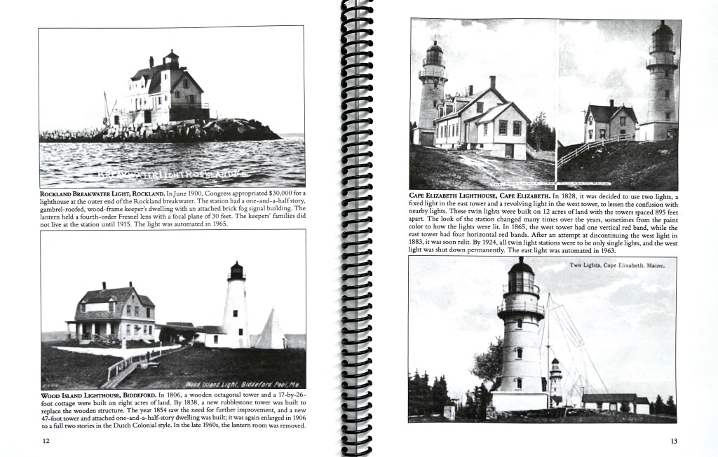
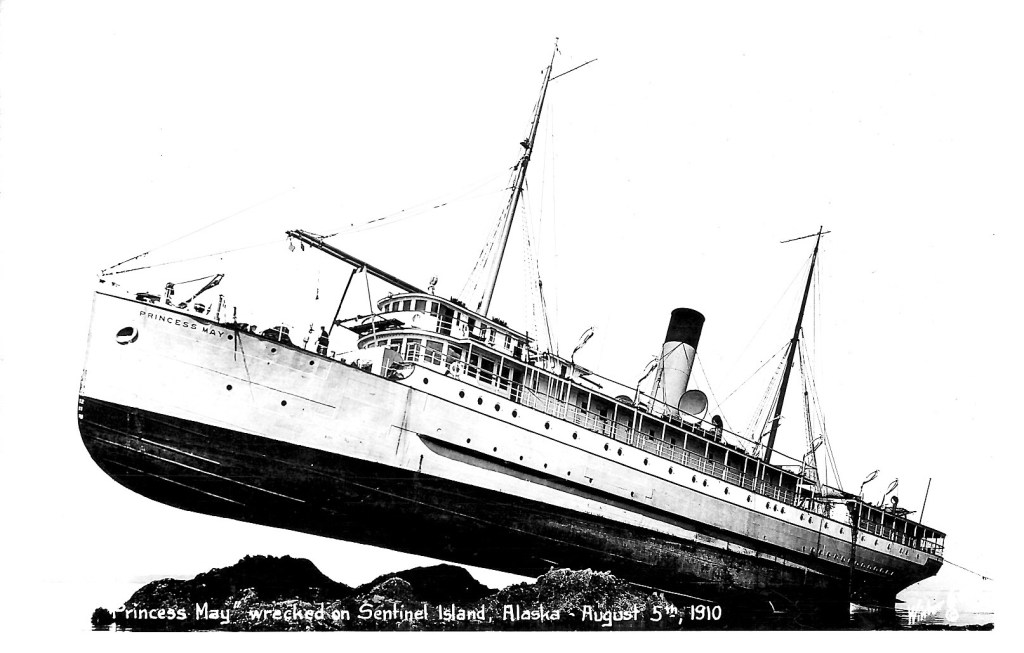
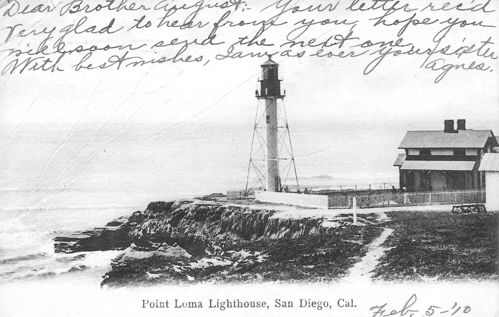
We all know someone who loves collecting, something. Whether it’s pottery, books (me), stamps, coins or even comic books. I have always loved anything to do with photography, new images or old vintage images, which lead me to having a look at vintage postcards and narrowing that down to a love of lighthouses and then you have a lighthouse postcard addict! When it comes to collecting postcards, there is something for every taste, from vintage or modern images, cartoons, graphics, and just fun stuff, etc. I have learned in the past few years, while working on my last two books for Arcadia Publishing in their Postcard History Series the many ups and downs of collecting and bidding in auctions.
A bit about the origin of postcards in general:
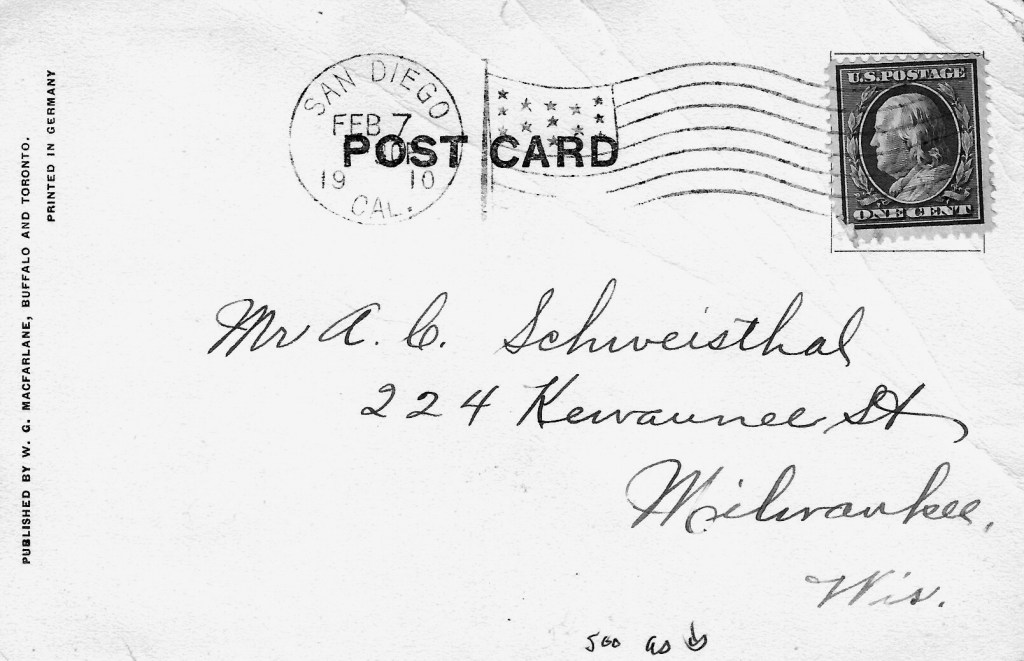
The Postal Act of May 19, 1898: This act provided for the extensive private product of postcards to measure 3.25 by 5.5 inches. Messages could only be written on the front. The back was reserved “exclusively for the address”. After March 1, 1907, the law specified that messages could be written on the backs of cards. Cards of this new style were call ‘divided back’ because of the vertical line, to the left of which a message could be written, with the address on the right. “Undivided back” cards remained in the inventories of shops for many years, now they are very collectable.
Ebay is a wonderful place to find additions to your collections. I use eBay when searching for my lighthouses that I will need for my books, even as I more forward. As is usual there are things you must look out for when looking for the ‘vintage’ postcards, I am not so sure on other collections as they might be harder to ‘copy’ than postcards are. When I first started, I would get so excited to ‘find’ that rare hard to find card, and hit purchase immediately! Only to find I had purchased a copy of an original, which holds next to no value. Not that is the only reason for the purchase, but copies when scanned as I do to use in a book, are not very good when they are 2nd and 3rd generation prints, no matter how good the scanner. Bottom line, on eBay as with a lot of situations there may not be all honest people you will be dealing with, in the world of commerce. ALWAYS read carefully so you don’t come up short on what you are bidding on or purchasing. Then you will get what you want and not the frustration when you don’t.
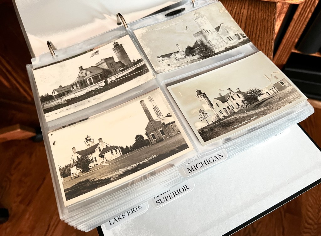
I have found that in the case of postcard collection, and I am sure this can also be used in collecting pretty much any other item, you will find that one special super piece, the best you could ever find! When only a short time later to have an even better special super piece come available and this will do even better for what you want. This has happened many times. So when you tell yourself you only need two, and even up with four, it’s because there will always be a better one out there that you have to have! I believe that might be where the ‘addict’ part comes in? Good luck on what ever is your passion, but be aware of what you are honing in on.
On that ‘wee note’, till next month Monday October 2, 2023.
Thank you for visiting and reading today. Please be sure to share with your friends, using the share button and if you haven’t already, please enter your email address in the subscription form below to receive my stories by mail.